Why is China quietly mapping the ocean floor? Is a silent submarine war with US taking shape?

China’s civil-military fusion strategy allows such data to support defence planning. As one expert told Reuters, the effort reflects China’s expanding “far-seas reach” and a clearer operational picture of contested maritime regions.
A silent contest beneath the surface
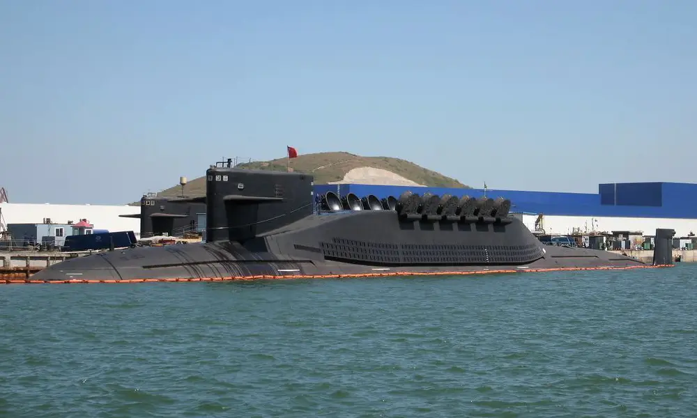
China is conducting an extensive effort to map the ocean floor across the Pacific, Indian and Arctic oceans, gathering data that experts say is vital for submarine operations. According to Reuters, the campaign is building ‘detailed knowledge of marine conditions’ that would be crucial in any future undersea conflict with the United States.
The scale of China’s operations
The programme involves dozens of research vessels operating in strategically sensitive waters. One example highlighted by Reuters is the Dong Fang Hong 3, which has sailed repeatedly near Taiwan, Guam and key Indian Ocean routes, including approaches to the Malacca Strait, a major global shipping chokepoint. Naval warfare experts and officials in the United States Navy say the deep-sea data being gathered by the vessel, through seabed mapping and the deployment of underwater sensors, is providing China with a clearer picture of subsea conditions, enabling more effective submarine operations and improving its ability to detect those of potential adversaries.
The pattern of movement
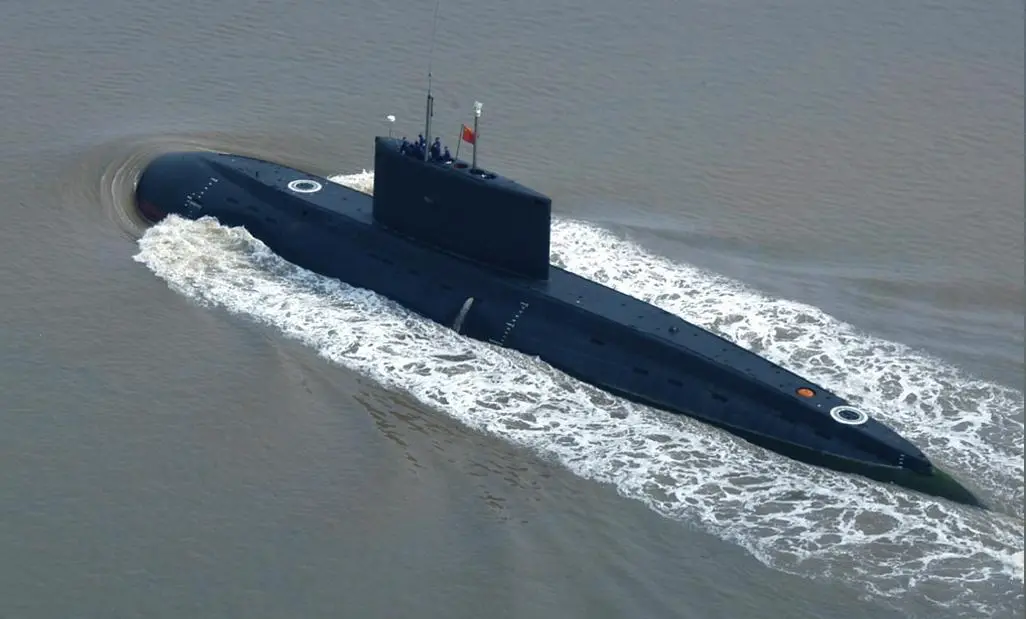
To collect detailed information on underwater terrain, research vessels map the seabed by travelling back and forth in closely spaced lines. Tracking data reviewed by Reuters shows this pattern of movement across extensive areas of the Pacific, Indian and Arctic oceans. At least eight of the vessels tracked have actively conducted seabed mapping, while a further ten have carried equipment capable of such operations, based on an analysis of Chinese state media reports, vessel specifications published by universities, and statements issued by government organisations.
Why seabed mapping matters
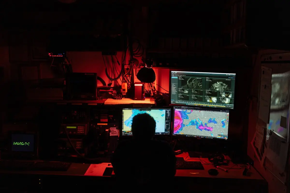
Seabed data plays a central role in submarine warfare. Naval analysts note that underwater terrain helps submarines navigate safely and remain concealed. As Reuters reports, commanders require such information “to avoid collisions and hide their vessels”.
The science of underwater detection
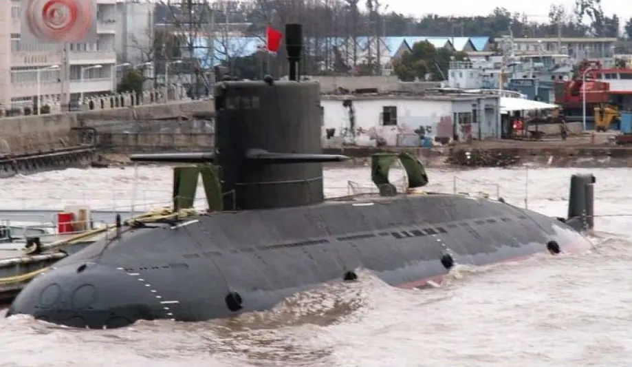
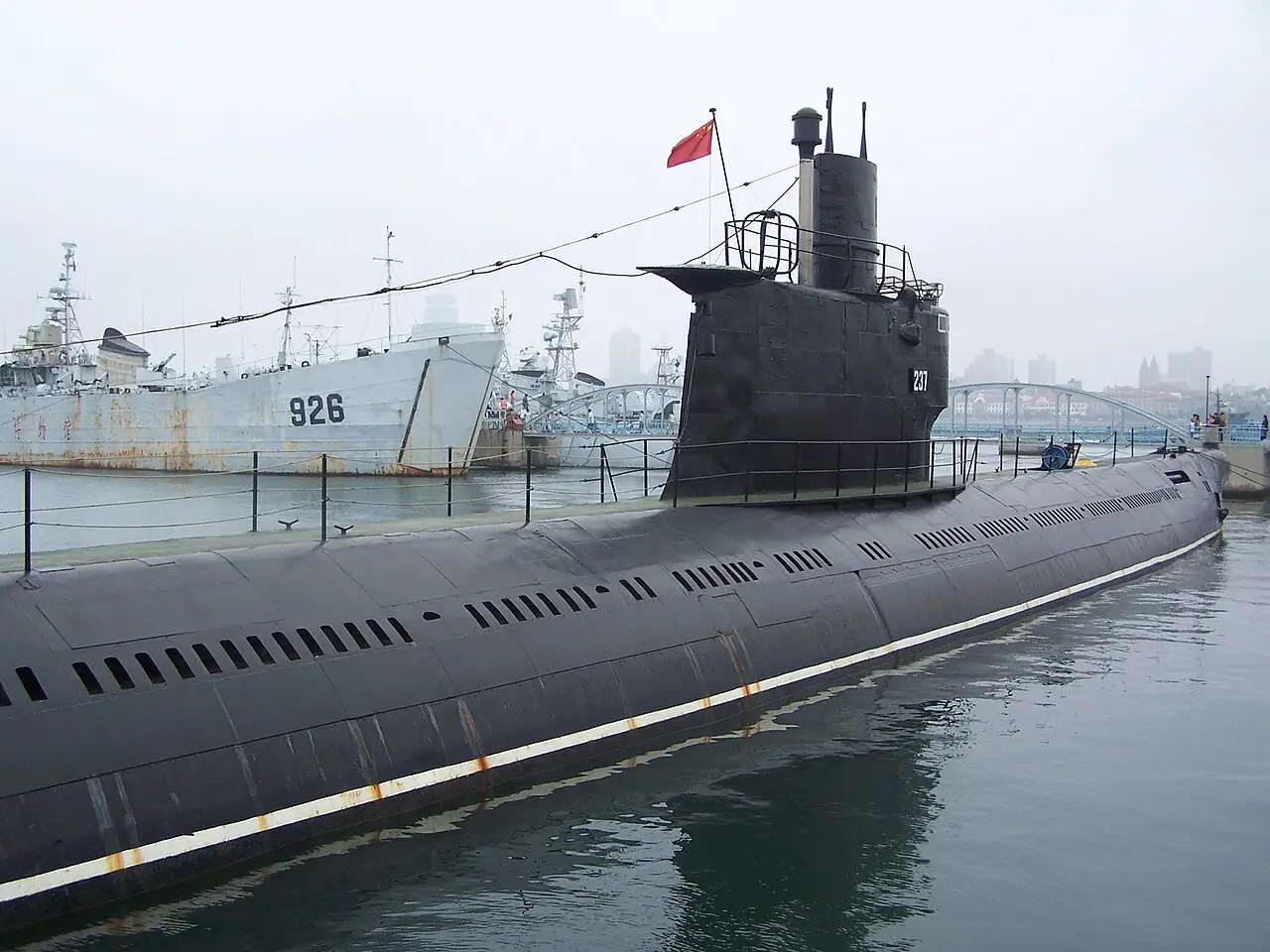
Submarine detection relies on sound, but sonar performance depends on factors such as temperature, salinity and ocean currents. Rear Admiral Mike Brookes of the US Office of Naval Intelligence told a congressional commission that China’s expanded surveys generate data that “enables submarine navigation, concealment, and positioning of seabed sensors or weapons,” adding that such activity “represents a strategic concern.”
The ‘transparent ocean’ ambition
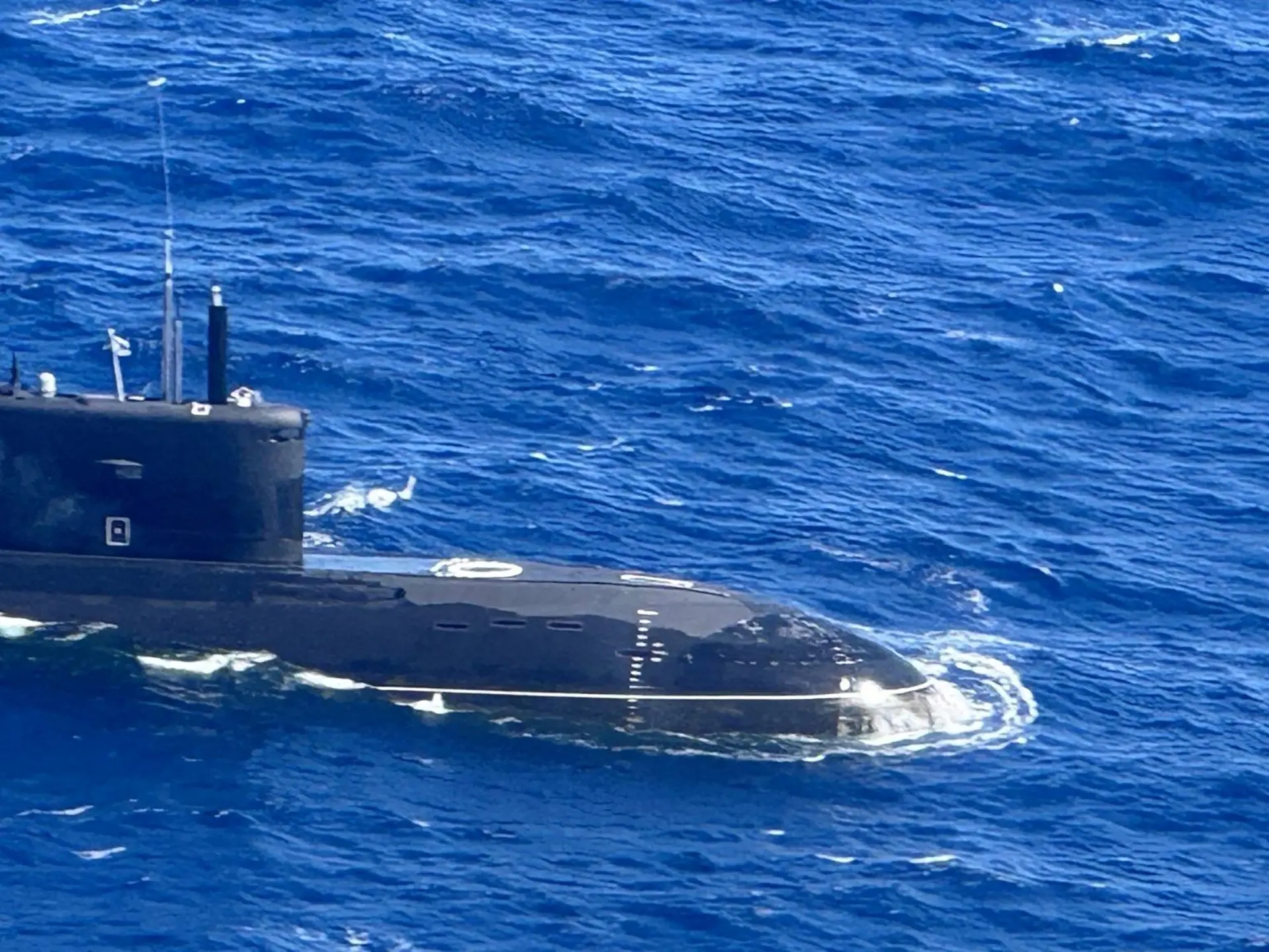
Chinese researchers have proposed creating a “transparent ocean” through networks of sensors that monitor underwater conditions in real time. A US intelligence official said such systems “gather hydrographic data… to optimise sonar performance”, enabling persistent tracking of submarines in key waterways.
Civilian research with military value
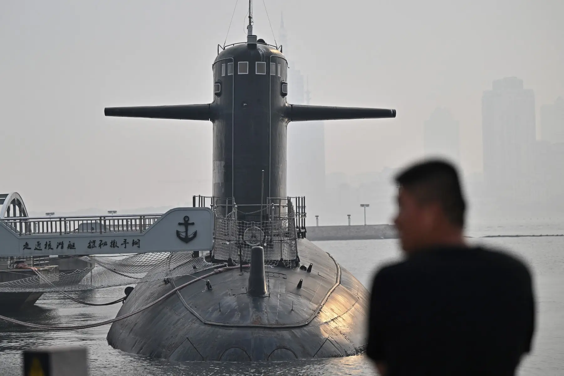
Tracking data shows that China’s mapping activities also extend to waters surrounding Guam, where some American nuclear submarines are based. Although many of these missions are presented as scientific, analysts point to their dual-use nature. China’s civil-military fusion strategy allows such data to support defence planning. As one expert told Reuters, the effort reflects China’s expanding “far-seas reach” and a clearer operational picture of contested maritime regions.
A shifting undersea balance
The mapping effort points to a broader shift in naval strategy. Chinese researchers have described using scientific advances to develop “new types of combat capabilities”. Together, mapping and monitoring provide tools to detect rival submarines and deploy their own in contested waters. Taken together, these developments suggest future competition may depend not only on platforms, but on who best understands the ocean’s hidden terrain. “This is a manifestation of China’s far-seas reach,” said Collin Koh of the RSIS Institute of Defence and Strategic Studies. “They now have a reasonably good picture of the maritime domain they hope to operate in, either in peacetime or in war.”